APPLE
FIRE BURNING Riverside County & San Bernardino County
NORTHEAST OF CHERRY VALLEY -
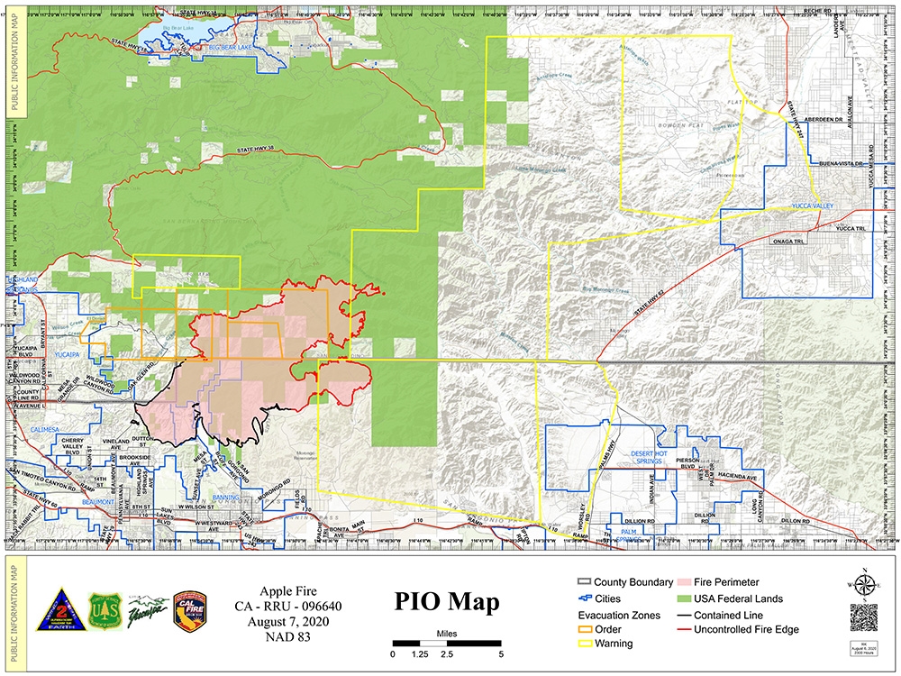
29,267 ACRES BURNED - 30% CONTAINED
AN "EVACUATION WARNING"
(Be Prepared)
REMAINS IN EFFECT FOR FOREST FALLS & PORTIONS OF RIVERSIDE
COUNTY:
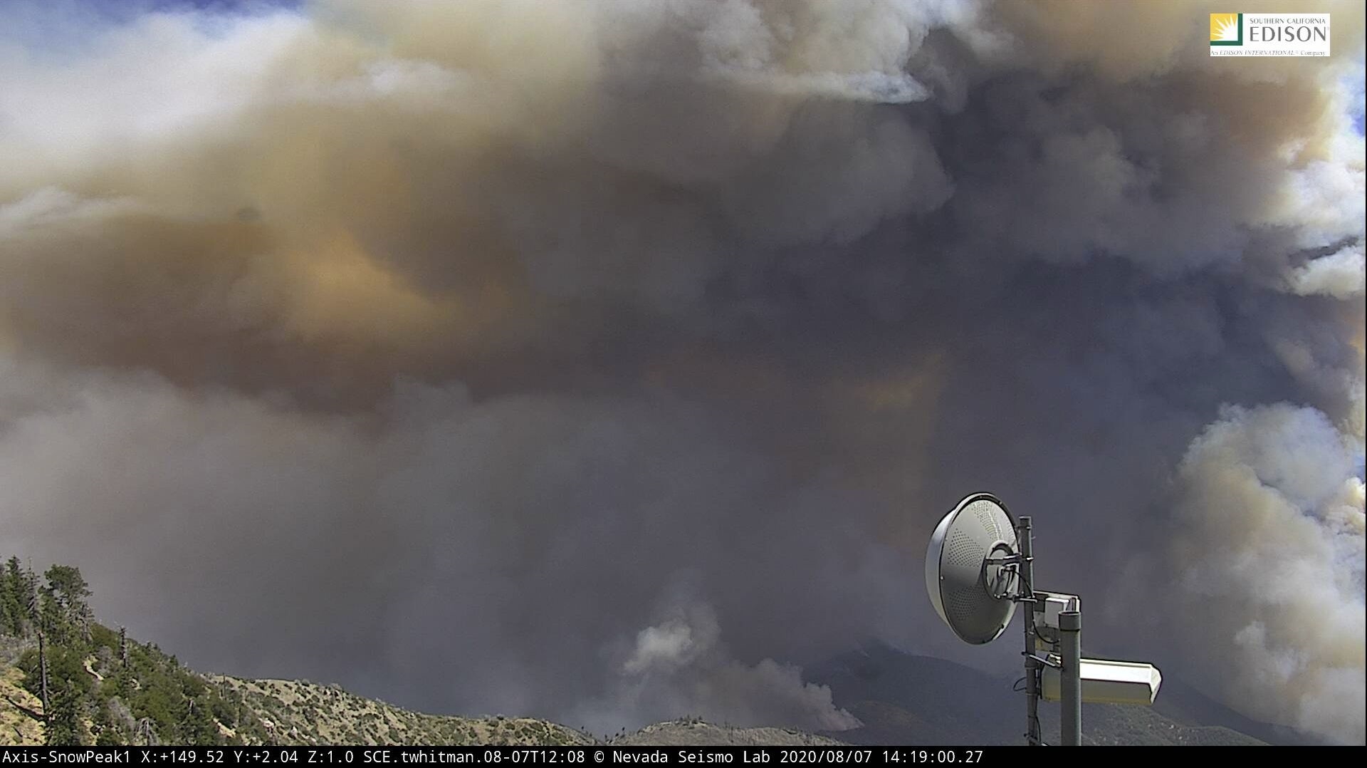
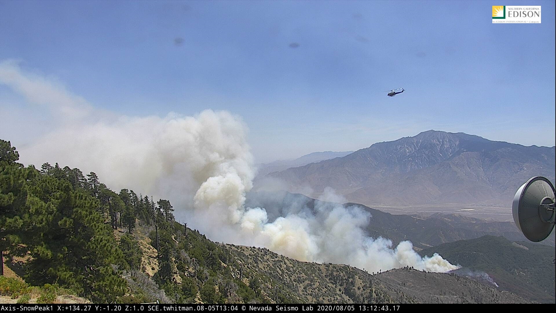
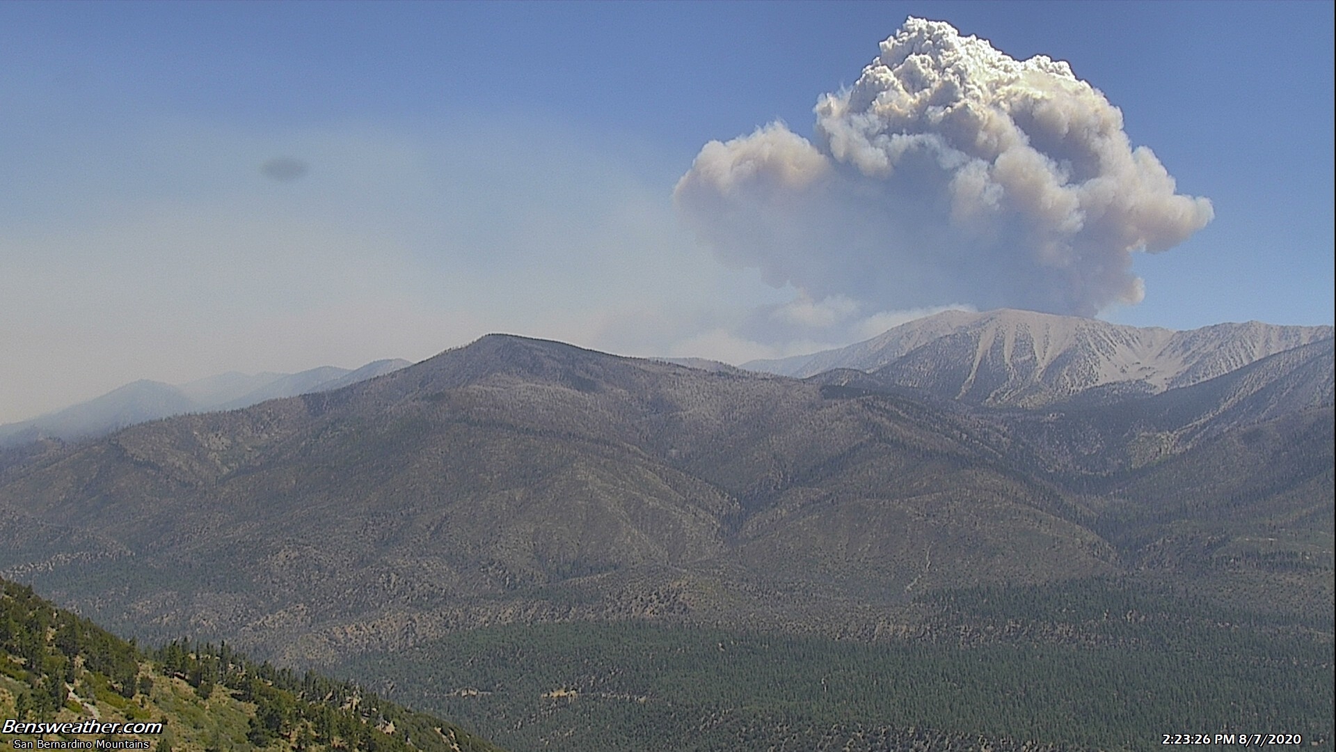
SMOKE IS VERY
VISIBLE FRIDAY AS CREWS WORK ON
BACKFIRING OPERATIONS, NO THREAT.
Incident Information:
Start / Report Date: July 31, 2020
Cause: Human Caused
Fuels Involved: Chaparral & Brush
APPLE FIRE Update
AUGUST 7, 2020 Evening
Incident Information:
Resources:
Start
/ Report Date: July 31, 2020 Hand Crews: 42
Cause:
Human Caused
Engines:284
Fuels
Involved: Chaparral & Brush Dozers: 24
Size:
29,267 acres Helicopters:
18
Location:
Banning Canyon Fixed
wing: 2
Injuries:
1
Water Tenders: 38
Homes destroyed: 4
Total Personnel: 2,664
Percent contained: 30%
Strategy:
Full Suppression
Evacuations
/ Closures: An
Evacuation Warning is in effect for the area east of Potrero Road, west to
Highway 62 and north of Interstate 10.
Residents:
please visit https://www.rivcoready.org/ActiveEvents for an interactive map that will
allow you to enter your address to determine if you are within this evacuation
warning area.
For
San Bernardino County Residents:
***NEW*** The Evacuation Order has been lifted for all areas east of Oak
Glen Road, including Potato Canyon and Pine Bench north of the Riverside/San
Bernardino county line. An Evacuation Warning remains in place for Forest
Falls, Morongo Valley, Pioneertown, and Rimrock.
The
San Gorgonio Wilderness has been closed to all use. An Emergency Forest Closure
Order is in effect as of August 2, 2020. The order prohibits all entry into the
San Gorgonio Wilderness and some adjacent areas. Additionally, all Forest
Service recreation areas in the Forest Falls area are closed. Fire restrictions
have increased across the San Bernardino National Forest. Please refer to the
Forest web page at https://www.fs.usda.gov/sbnf for additional details.
The Pacific
Crest National Scenic Trail: Due to closures in both the San
Bernardino National Forest and the Bureau of Land Management ‘The Pacific Coast
Trail is closed to all traffic between the Cottonwood Trailhead, near the
community of San Gorgonio and Forest Road 1N101 (Pipes Canyon Road).
Smoke
Advisory: Smoke
will travel towards Morongo Valley and remain in the area until late evening.
People with health conditions sensitive to smoke should reduce prolonged or
heavy outdoor exercise in this area today.
Evacuation
Center: San
Bernardino County residents under the Oak Glen Evacuation Order may contact The
American Red Cross at (571) 595-7774.
Weather: Conditions will
be similar to two days. Relative humidities will decrease to 10-20% and temperatures are
expected in the mid 70’s on the ridges and upper slopes in the fire area.re shifting
with winds increasing over the fire area. Windy conditions continue to be of
concern for this fire.
Donations: Area residents who
wish to make food donations are encouraged to contribute to local food pantries
as firefighters are provided with everything they need at the fire camps.
Cooperating
and Assisting Organizations: Riverside County Emergency Management
Department, Morongo Band of Mission Indians, Riverside County Sheriffs, San
Bernardino County Sheriffs, San Bernardino County Fire, California Highway
Patrol and Southern California Edison.
Safety
Message: In
addition to dealing with the inherent hazards of fighting a wildland fire,
firefighters are taking precautions to prevent the spread of COVID-19 by
limiting inter-crew face-to-face interactions to what is operationally
necessary to engage the fire safely.
There is a temporary
flight restriction over the fire and vicinity. It is illegal to fly drones
within the restricted area.
Remember, “When you
fly, we can’t”!