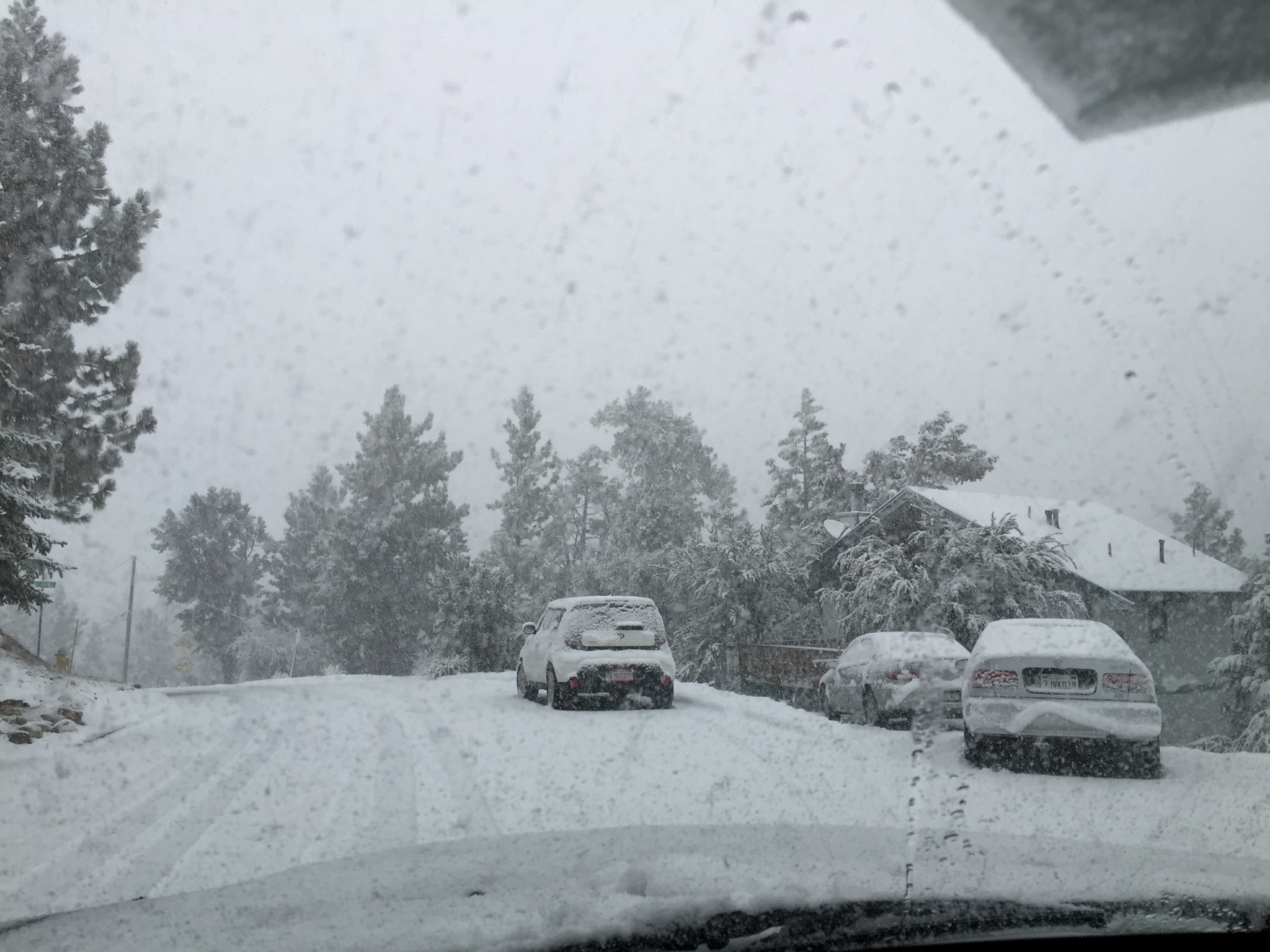
San Bernardino Mountains
Monday December 26, 2016
This highway information
is the latest reported as of Monday at 5:00
P.M.
CALTRANS http://dot.ca.gov/cgi-bin/roads.cgi
Caltrans District 8 covers Riverside and
San Bernardino Counties in Southern California, which includes 49 incorporated
cities.
District
8 is the largest of 12 statewide Caltrans districts and covers approximately
28,650 square miles of land. There are four interstates and 32 state routes
totaling 7,200 lane miles within our boundaries.
For chain control information
in the counties of Madera, Fresno, Kings, Tulare, Kern, San Bernardino, and
Riverside, please use this link: http://dot.ca.gov/cgi-bin/roads.cgi or call
1-800-427-7623.
511 is your one-stop phone and web source for
up-to-the-minute transportation information.
State Route 18
[IN THE SOUTHERN CALIFORNIA AREA]
NO TRAFFIC RESTRICTIONS ARE REPORTED FOR
THIS AREA.
[IN THE SOUTHERN CALIFORNIA AREA]
CHAINS ARE REQUIRED
CHAINS ARE REQUIRED ON ALL VEHICLES EXCEPT 4-WHEEL-DRIVE VEHICLES WITH SNOW
TIRES ON ALL 4 WHEELS FROM THE LOWER PASSING LANE TO THE MIDDLE PASSING LANE
(SAN BERNARDINO CO)
[IN THE SOUTHERN CALIFORNIA AREA]
CHAINS CHAINS ARE
REQUIRED ON ALL VEHICLES EXCEPT 4-WHEEL-DRIVE VEHICLES WITH SNOW TIRES ON ALL 4
WHEELS FROM MILL CREEK RANGER STATION TO BIG BEAR DAM (SAN BERNARDINO CO)
511 is
your one-stop phone and web source for up-to-the-minute transportation
information.
For chain control information in the counties of
Madera, Fresno, Kings, Tulare, Kern, San Bernardino, and Riverside, please use
this link: http://dot.ca.gov/cgi-bin/roads.cgi or call 1-800-427-7623
CALTRANS District 8 – Is currently working to
update Chain Control Descriptions
for consistency with Internet mapping, like
Google Maps & Mapquest